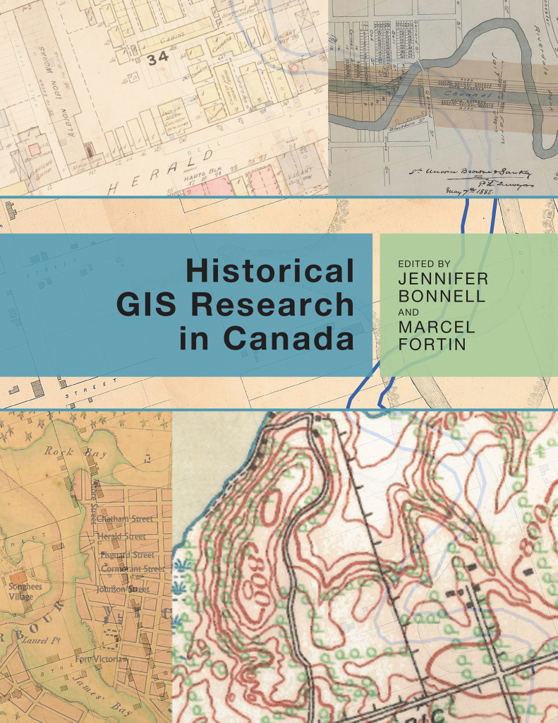
The Don Valley Historical Mapping project documents historical changes in the landscape of the Don River Valley. Drawing from the wide range of geographical information available for the Don River watershed, including historical maps, geological maps, fire insurance plans, planning documents, and city directories, the project uses Geographic Information Systems software to place, compile, synthesize and interpret this information and make it more accessible as geospatial data and maps.
The project was conducted through a collaboration Marcel Fortin, the Geographical Information Systems (GIS) and Map Librarian at the University of Toronto’s Map and Data Library. Financial and in-kind support was provided by the Network in Canadian History and Environment (NiCHE) and the University of Toronto Libraries. Valuable research support came from Lost Rivers, a community-based urban ecology organization focused on building public awareness of the City’s river systems.


Recent Comments